Civil · Infrastructure AI
AI for Civil Engineering
Our civil practice is built on pavement and infrastructure work for agencies and engineering teams. We build the decision-support software, and your licensed engineers own the analysis and every call.
Project Overview
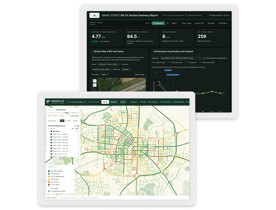
We build decision-support software for pavement and infrastructure teams: tools that turn the same fieldwork into a report, a dashboard, and a plan. The goal is to let agencies and firms compete on the decision rather than the data collection, and to automate the manual middle that eats a team's hours.
Our Role
We handle product design and the full-stack build. A few of the systems we've built:
- A spatially optimized capital-improvement planner that ingests standard pavement-management exports, runs budget-constrained multi-year analysis across ten prioritization strategies with deterioration modeling, then clusters funded projects for efficient contract packaging and outputs a full agency deliverable set: report, executive summary, Excel work plan, and GIS package
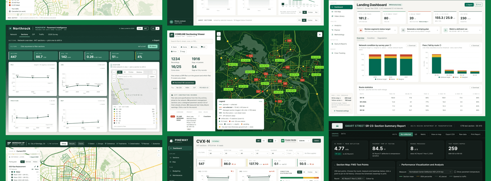
- A secure pavement-performance dashboard for a major toll-highway network: network KPIs, an interactive web map with dynamic filtering, a searchable section browser, and capital-planning views charting cost against budget, all behind managed authentication
- A pavement-marking retroreflectivity platform: mobile data synced to GPS survey video, a pass/fail dashboard, a threshold-based GIS map, a video player with a live data overlay, one-click export to Excel, shapefile, and KML, and a re-striping planner that finds deficient corridors and estimates cost
- A modernization of a legacy pavement-evaluation engine for runway and highway analysis: we ported the layered-elastic, damage, and backcalculation models to Python with verified numerical parity, then wrapped them in a modern, GIS-native stack
On the legacy engine, the delivery improved without changing the math the reviewers already trust.
Impact & Results
This is decision-support, not stamped engineering. Scope and accountability stay clear, and engineering judgment stays with your licensed engineers. One of these platforms was funded and deployed by the client it was built for and runs today behind managed authentication; others are in active internal use or in development. Every one of them is built to survive a licensure, liability, and public-records review, because that is the standard the work has to meet.
Keep looking
More case studies
Confidential & Government
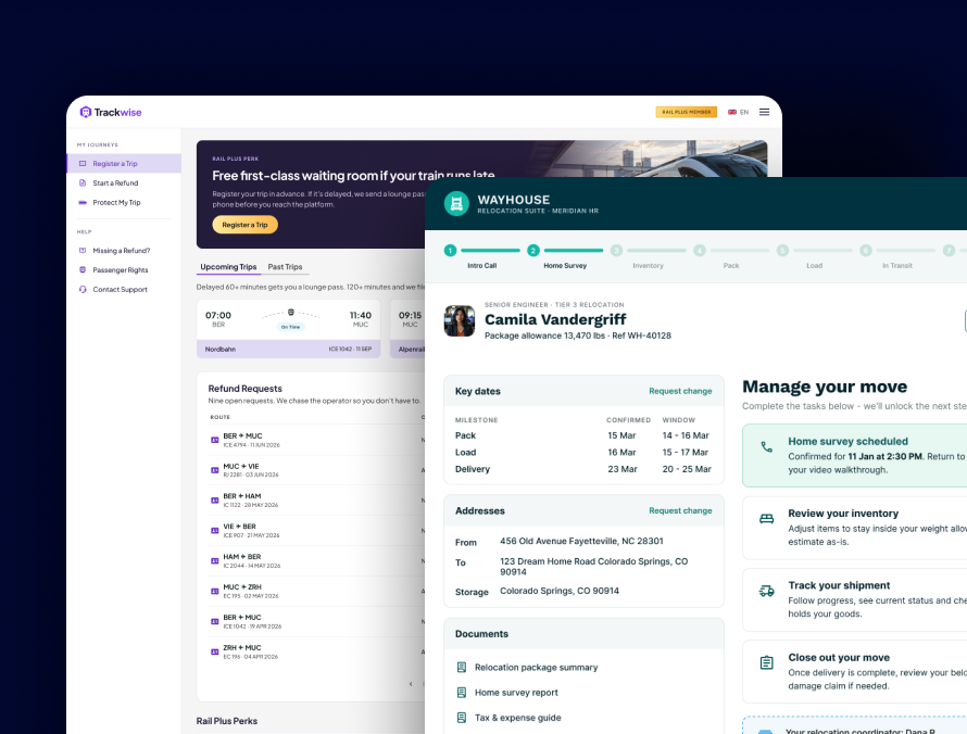
Accessible products for government and regulated teams, from a relocation platform for military families to an AI roadmap builder.
Read case study →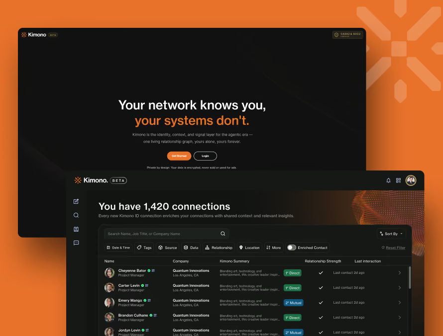
Kimono
We turned Kimono's onboarding into one phone-first flow, so new users see their own network in under two minutes.
Read case study →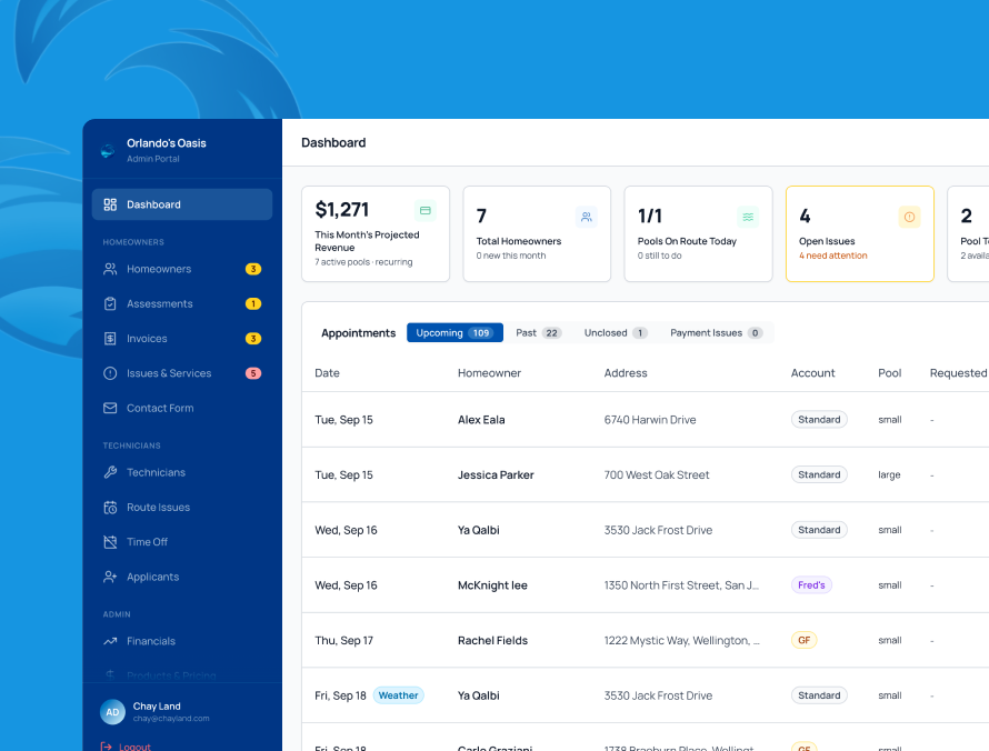
Orlando's Oasis
A pool-service marketplace with three apps, one each for homeowners, technicians, and the team running the business.
Read case study →Have a project in mind?
Is your team stuck on legacy software that can't keep up?
We'll modernize it, or build the tool your engineers wish they had.